
Interactive Project Map
CLOSED: This discussion has concluded. Staff are working to develop alternatives.
The interactive project map has been created and is now open for use. Go to the "Comment Map" tab to access. Then use the "new pin" button to add pins on the map and follow the prompts to create a pin or upload a picture demonstrating your comment.
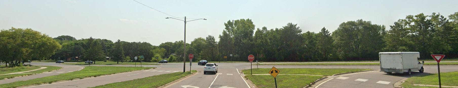
The purpose of this map is to provide a tool for you, as a user of this corridor, to provide your input on experiences and concerns related to driving, biking, walking, drainage, and more, for Bloomington Ferry Road.
Your comments will be used to shape the study and the development of options for the corridor. Check back as the study continues to see how your input has been considered.
When submitting a photo...
- By your submission, you are affirming (1) that you are the photographer and copyright holder of the submitted image, and (2) that you grant the City of Bloomington permission to use the submitted image in any of its online and print marketing and communications.
- Submit only photos that were taken in Bloomington or show a subject that is related to the Urban Forest Master Plan. Please explain the photo's Bloomington connection in the comments box.
- If you submit a photo taken at a non-public event that shows any person(s) whose identity is identifiable, you are responsible for obtaining permission from the person(s) to submit the photo.
- High resolution images are preferred, but avoid uploading files that are more than 10MB in size.
- Please note that all submissions become the sole property of the City of Bloomington and will not be returned. No compensation will be offered for selected submissions. Photo credit may or may not be given when the City uses your photo.
- Photo types allowed jpg, jpeg, png.
Share Interactive Project Map on Facebook
Share Interactive Project Map on X (formerly Twitter)
Share Interactive Project Map on Linkedin
Email Interactive Project Map link

Thank you for your contribution!
Help us reach out to more people in the community
Share this with family and friends